
News Summary
This weekend, Middle Tennessee is preparing for frigid weather as an Arctic air mass sweeps in following rain showers. Snow flurries are expected late Saturday night, primarily affecting northern and eastern areas, where accumulations could reach up to 2 inches. A cold weather advisory will be in effect, warning residents of the coldest temperatures of the season, with wind chills dipping as low as -5°F. Safety precautions should be taken as temperatures are expected to remain sub-freezing for several days.
Middle Tennessee Braces for an Arctic Blast This Weekend!
Hey there, Nashville! Buckle up because we’re in for a wild ride with weather this weekend! As the rain showers make their exit late Saturday night, a big chill is set to roll into Middle Tennessee. Yes, you guessed it—we’re talking about a blast of frigid Arctic air that’s going to take hold!
Snow Showers on The Horizon
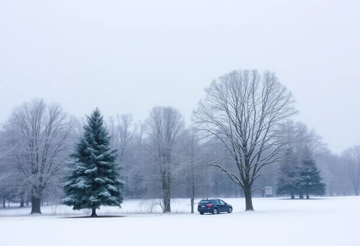
Starting late Saturday night, after the last drops of rain leave the area, you can expect to see some flurries and snow showers greeting us. They’re mainly going to be a guest from midnight through early Sunday morning, with some staying around into midday Sunday. If you’re hoping for a snow day to build a snowman or go sledding, you might want to keep your expectations in check, though. We’re looking at a general expectation of a dusting of snow across the region.
Now, if you live a bit more north or east of Nashville, you might get lucky. These areas could see increased snow accumulations, possibly reaching up to an inch on and near the Cumberland Plateau. And for the lucky spots in the Plateau, there’s even a chance of snagging up to 2 inches of snow. Now that’s something to talk about!
Cold Weather Advisory Alert!
But hold on! The fun doesn’t stop with snow. Starting Sunday, brace yourselves for some serious cold. Yes, we’re talking about the coldest weather of the whole season! Highs will barely creep into the 20s for Sunday, Monday, and Tuesday, and the lows? Oh boy, they’ll be dropping into the teens and even single digits.
And let’s not forget about that frigid wind blowing through during Sunday morning. It’s going to make those warm cups of cocoa feel like heaven! With the wind chill, we’re looking at temperatures dipping into the single digits and possibly flirting with zero degrees. Stay bundled up, everyone!
Advisories All Around
This chilly weather has sparked a Cold Weather Advisory from 6 PM Sunday to Noon Monday, warning of temperatures plunging into the single digits with wind chills as low as a frosty -5°F. So, if you need to go out, make sure to dress like an Eskimo!
Also noteworthy, a Winter Weather Advisory kicks in from 4 AM to 6 PM Sunday for the eastern counties. They may see up to an inch of snow, with the higher elevations possibly getting up to 2 inches. The rest of Middle Tennessee and southern Kentucky will likely see some snow as well, but not quite as much as an advisory level—think more in the range of a coating to ½ inch. Better keep an eye on those roads because sub-freezing temperatures could mean some slippery spots are developing.
What’s Next?
These frigid temperatures are expected to stick around for over 72 hours, spanning from Sunday, January 19 to Wednesday, January 22. But don’t despair just yet! Following the incredibly cold start on Wednesday, we’re looking forward to a little warming trend taking place in the afternoon through to Friday of next week.
So, Nashville friends, let’s brace ourselves for this Arctic embrace! Whether you’re out enjoying the wintery weather or snuggled up at home, make sure to stay warm and safe. Happy snow watching!
Deeper Dive: News & Info About This Topic
HERE Resources
A Polar Vortex is Set to Affect Much of the U.S.
Winter Storm Hits Nashville: Shelters and Cancellations Activate
Nashville Braces for Major Winter Storm
Major Winter Storm Hits Nashville: Snow and Safety Tips
Winter Storm Readies Nashville for Snowy Challenges Ahead
Polar Vortex to Bring Freezing Temperatures to Texas Next Week
Frigid Arctic Blast Set to Impact the U.S.
High Surf Collapse of Santa Cruz Wharf Causes Panic Amid Other Nationwide Incidents
East Coast Braces for Intense Winter Weather, Arctic Blast and Lake-Effect Snowstorm Predicted to Disrupt Post-Thanksgiving Travel
Additional Resources
- Weather.com: Nashville Weather
- Tennessean: Nashville Weather Update
- WKRN: Arctic Air Invades Tennessee
- Wikipedia: Winter Weather
- Encyclopedia Britannica: Winter

Author: HERE Nashville
The NASHVILLE STAFF WRITER represents the experienced team at HERENashville.com, your go-to source for actionable local news and information in Nashville, Davidson County, and beyond. Specializing in "news you can use," we cover essential topics like product reviews for personal and business needs, local business directories, politics, real estate trends, neighborhood insights, and state news affecting the area—with deep expertise drawn from years of dedicated reporting and strong community input, including local press releases and business updates. We deliver top reporting on high-value events such as CMA Fest, Bonnaroo Music & Arts Festival, and Nashville Pride Festival. Our coverage extends to key organizations like the Nashville Area Chamber of Commerce and Nashville Health Care Council, plus leading businesses in healthcare, automotive, and technology that power the local economy such as HCA Healthcare, Bridgestone Americas, and Asurion. As part of the broader HERE network, including HEREBristol.com, HEREChattanooga.com, HEREKnoxville.com, and HEREMemphis.com, we provide comprehensive, credible insights into Tennessee's dynamic landscape.